
The Google Earth service allows us to fly anywhere on Earth. But that doesn't mean we can see everything. In the extensive collection of satellite images, for one reason or another, there are gray spots, places that Google refuses to show us. That's why he censors her one way or another. Check which ones.
map

Many names of Ljubljana's areas and points have very interesting names in Slovenian. Are you wondering how it would sound in English? Check what your ending is called in literal English translation. Laughter guaranteed! PS Let's meet at seven o'clock at Naked Hill!

You won't get the most accurate map of the universe at a gas station or tourist office, and you won't be able to unfold it on the dashboard of your car either. But the screen will be big enough for you to be able to see the result of a study for the scientific journal Nature, where scientists, while mapping the galaxies close to us, discovered that the Milky Way is part of a huge celestial structure of 100 thousand galaxies called Laniakea or "the vast sky". .
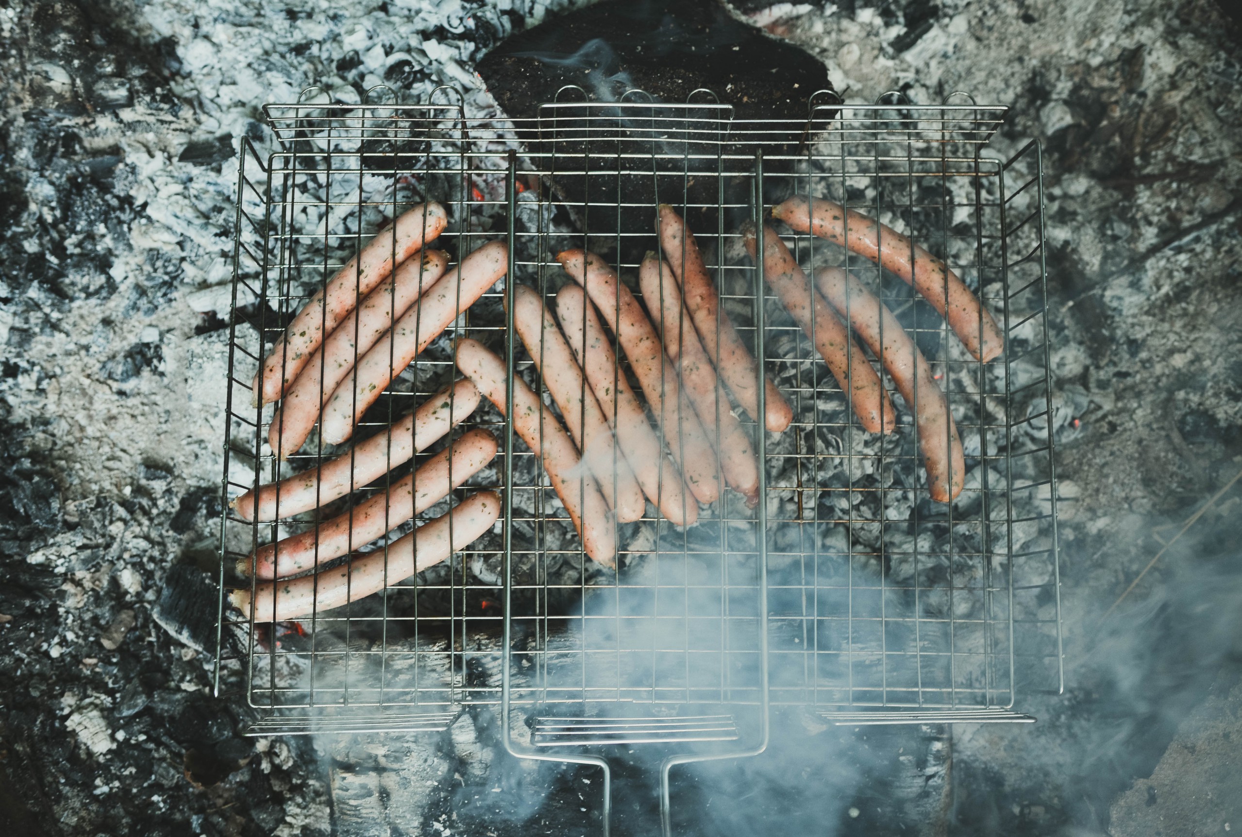
Tastes vary widely among people around the world. Nevertheless, cultures influence people from the same parts of the world to have similar eating habits. Some specialties have even grown into symbols of individual countries.

If you are planning to travel abroad, it is wise to take a few minutes to study the map prepared by the experts at International SOS and Control Risks, which ranks tourist destinations according to the level of danger. Do not travel to these countries if you want to return home in one piece. These are the most dangerous tourist destinations of 2017.
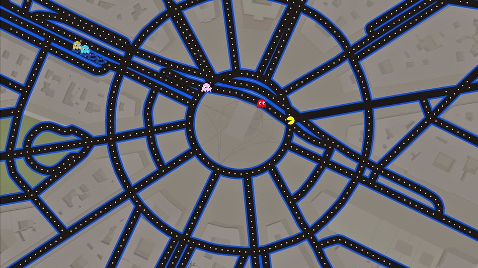
For April 1st, Google has taken Google Maps and turned it into a Pack-Man arcade game. The streets have thus turned into a labyrinth, and the game of our youth can be played on our doorstep (the advantage of the "home playground") or in a location of our own choice. Blinky, Pinky, Inky and Clyde can also be avoided on the Champs-Élysées or in Times Square, and everything is accompanied by the famous musical background.

Did you know that our picture of the world is distorted? After seeing these photos, you will never look at the world the same again! The reason why some countries on the map are larger or smaller than others, even though they are not, is the antediluvian transverse Mercator projection or. a cylindrical map projection in which meridians and parallels are straight lines that intersect at right angles, and which allowed mariners to plot their course as straight lines. The result of transferring the surface of the Earth to paper is today's misconception of the size of some parts of the world. The projection of the three-dimensional world on paper has its price, and we pay it with a distorted picture of the world even today, even though the maritime industry no longer uses classic maps for navigation. That is why such cards are still hanging in schools and, among other things, falsely create the impression that Russia and the USA are so big.

When we see a map of the world, apart from oceans, mountains, forests, deserts, ice, our eye does not perceive anything else. We do not see the essential - what qualities we have as residents of a certain continent, country, city, village. What are we like? What do we like? What don't we like? Who are we anyway? Are there even such maps that define precisely what kind of Earthlings we are? Or, rather, what are they supposed to be?

Google Street View can hide from this view. I don't know where, because Uncle Google has covered almost every corner of the world with his car, but since he doesn't have an airplane exam, certain things are still not covered. And this is where TravelByDrone has now stepped in, a map that gives a new dimension to the beauty of the world with drone footage.
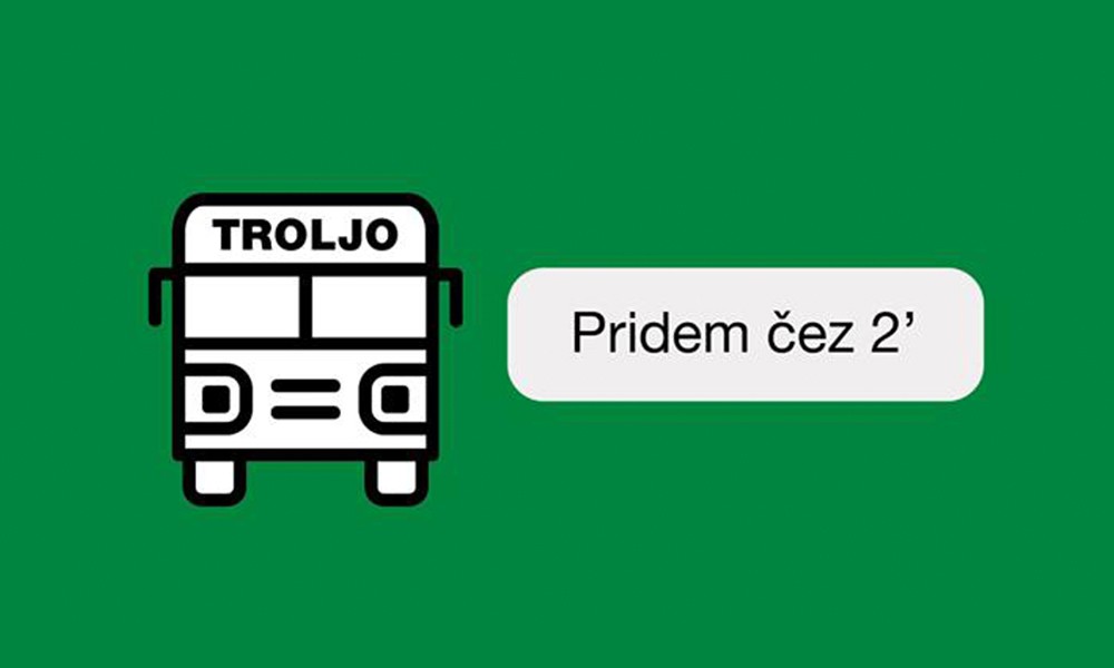
Do you use the Ljubljana passenger transport bus lines? Then the Troljo chatbot, the announcer of the arrivals of Ljubljana's 'trolls', is the interlocutor you need. It lives in your Facebook Messenger and is at your disposal 24 hours a day.

While some countries are extremely densely populated, in others the picture is just the opposite. You are interested in what the world map would look like if the territory was divided according to population size. Where Slovenia would move, who would be its neighbors and whether it would have direct access to the open sea, we will publish below.

Holidays and holidays are the ideal period for a short trip or a longer trip. But with all the information about the vast number of important attractions, it is difficult to find and visit all the attractions of that place in a short time. Vouchercloud has a solution. They created a map of the top attractions of all the countries of the world, which helps tourists to orient themselves more quickly and speed up their decision-making process, what is worth seeing.